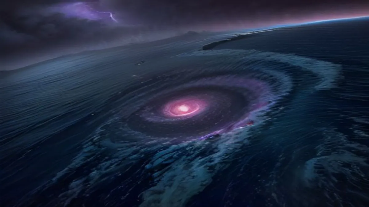
BREAKING NEWSAs of September 2, 2026, Tropical Storm Marie has officially formed and is tracking toward Southern California, bringing dangerous conditions including high surf, coastal flooding, and heavy precipitation across the region.
Tropical Storm Marie Approaches California: What You Need to Know Today
Tropical Storm Marie has formed in the Pacific Ocean and is rapidly approaching the California coast, creating significant concerns for coastal communities from Newport Beach to broader Southern California regions. Today, September 2, 2026, emergency management officials are actively monitoring the storm's trajectory and intensity, urging residents to prepare for potential impacts including dangerous surf conditions, coastal erosion, localized flooding, and heavy rainfall. The National Weather Service and local government agencies are coordinating preparedness efforts as the storm system moves closer to landfall.
Storm Formation & Current Status
Tropical Storm Marie officially formed on September 1, 2026, marking the latest tropical cyclone threat to the western United States this season. The storm emerged from atmospheric conditions in the central Pacific and has been steadily organizing throughout the past 24 hours. Current meteorological data indicates the system possesses organized circulation patterns with sustained winds in the tropical storm range. Forecasters are tracking Marie's movement toward the California coastline, with particular attention to Southern California communities.
Notably, Tropical Storm Marie is forming amid an exceptionally active Pacific hurricane season. Hurricane Lowell has simultaneously intensified into a catastrophic Category 5 hurricane, demonstrating the heightened atmospheric instability across the Pacific basin in 2026. Multiple tropical systems are concurrently affecting vast oceanic regions, complicating forecasting models and emphasizing the need for heightened preparedness along multiple coastlines.
In-Depth Analysis & Key Impacts on Southern California
Newport Beach & Coastal Communities Prepare
Newport Beach, one of Southern California's most prominent coastal communities, is actively preparing for Tropical Storm Marie's arrival. City officials announced comprehensive preparedness measures on September 2, 2026, including monitoring protocols, emergency response coordination, and public advisories regarding high surf and coastal flooding risks. The affluent Orange County municipality, known for its extensive waterfront infrastructure and beach access, faces particular vulnerability to storm surge, high-energy waves, and precipitation-driven flooding.
Local authorities are recommending residents secure loose outdoor items, avoid beaches during peak storm conditions, monitor official weather updates continuously, and prepare emergency supplies including water, food, medications, flashlights, and batteries. Boaters are being advised to seek shelter in protected harbors, while swimmers and surfers are warned against entering the ocean during the storm's impact window due to dangerous rip currents, unpredictable wave heights, and reduced visibility.
High Surf, Coastal Flooding & Precipitation Threats
Tropical Storm Marie is expected to generate significant hazards across multiple meteorological categories. High surf advisories and coastal flood warnings are currently in effect for Southern California beaches. Wave heights are anticipated to reach 8 to 12 feet or higher during peak storm intensity, with localized areas potentially experiencing even more dangerous conditions. Beach erosion is a major concern, particularly affecting properties situated immediately adjacent to shorelines.
Additionally, Tropical Storm Marie will bring heavy rainfall to inland portions of Southern California, including Los Angeles County, Ventura County, and surrounding regions. Rainfall accumulations of 1 to 3 inches are possible across coastal and foothill areas, with higher amounts in elevated terrain. This precipitation threatens to overwhelm drainage systems, create flash flooding in vulnerable watersheds, and potentially trigger debris flows in burn scar areas from recent wildfire seasons. Wind gusts could reach 35 to 50 miles per hour in exposed coastal locations, causing minor structural damage to unsecured structures and downed tree branches.
| Impact Category | Severity Level | Affected Regions | Timeline |
|---|---|---|---|
| High Surf | HIGH | Orange County, Los Angeles County Coast | Sept 2-4, 2026 |
| Coastal Flooding | HIGH | Newport Beach, Coastal Communities | Sept 2-4, 2026 |
| Heavy Rainfall | MODERATE | Inland Ventura, LA, San Bernardino | Sept 2-5, 2026 |
| Wind Gusts | MODERATE | Exposed Coastal Promontories | Sept 2-4, 2026 |
Storm Tracking & Forecast Uncertainty
Current tracking maps released today by meteorological authorities show Tropical Storm Marie on a trajectory that will bring the center of circulation closest to Southern California coastlines during the September 2-4 window. However, tropical storm forecasting inherently carries uncertainty, and small shifts in the storm's track could either increase or decrease impacts on specific communities. Residents should monitor official National Weather Service updates continuously, as forecast details may change as additional satellite, radar, and observational data becomes available.
Public Reaction, Social Media & Community Impact
Community Preparedness & Emergency Response
Community response to Tropical Storm Marie has been notably proactive across Southern California municipalities. Local government agencies, emergency management departments, and disaster preparedness organizations have mobilized comprehensive response frameworks. Public notifications have been distributed via multiple communication channels including emergency alert systems, social media platforms, weather apps, and traditional media outlets.
- City and County of Honolulu officials are closely monitoring both Tropical Storm Marie and the intensifying Hurricane Lowell, which poses potential threats to Hawaii
- California emergency management agencies have activated coordination centers to facilitate inter-agency communication and resource allocation
- Retail establishments report increased demand for emergency supplies, bottled water, canned goods, batteries, and flashlights as residents prepare
- Utility companies have pre-positioned repair crews and equipment to rapidly address service disruptions from fallen trees and damaged infrastructure
- Beach management authorities have issued warnings regarding rip currents and dangerous swimming conditions during the forecast storm window
Regional Context: Active Pacific Hurricane Season
The emergence of Tropical Storm Marie occurs within the context of an exceptionally active 2026 Pacific hurricane season. Hurricane Lowell's simultaneous intensification into a catastrophic Category 5 hurricane demonstrates the heightened atmospheric instability characterizing this season. Multiple weather systems are concurrently affecting vast oceanic regions, with implications extending from California to Hawaii and beyond. This heightened tropical activity reflects broader climate patterns and ocean temperature conditions that meteorologists continue analyzing.
Future Outlook & Conclusion
What Comes Next: Timeline & Recovery Considerations
Following Tropical Storm Marie's passage through Southern California, communities will enter a recovery and assessment phase. Damage surveys will be conducted to quantify losses to infrastructure, residences, and ecosystems. Insurance adjusters will process claims for property damage. Utility companies will complete infrastructure repairs and service restoration efforts. Environmental agencies will assess impacts to coastal ecosystems, wildlife, and water quality. This recovery process typically requires weeks to months depending on storm severity and damage extent.
Meteorologists will continue monitoring the Pacific basin for additional tropical development through the remainder of the 2026 hurricane season, which extends through November 30. The occurrence of Tropical Storm Marie reinforces the importance of comprehensive disaster preparedness planning, emergency communication systems, and community resilience initiatives. Southern California residents are encouraged to develop personal emergency action plans, maintain supplies for extended power outages, and stay informed through official meteorological authorities.
In conclusion, Tropical Storm Marie represents a significant meteorological event affecting Southern California on September 2, 2026, and the days immediately following. High surf, coastal flooding, heavy rainfall, and wind gusts pose tangible hazards to lives, property, and infrastructure. Communities from Newport Beach to broader Southern California regions are implementing comprehensive preparedness measures. Continuous monitoring of National Weather Service forecasts, adherence to emergency advisories, and proactive personal preparedness represent essential responses to this developing tropical weather situation.
Live Storm Updates:For real-time Tropical Storm Marie tracking, official forecasts, and emergency alerts, residents should monitor the National Weather Service website continuously. Updated information is released multiple times daily as new meteorological data becomes available. Follow local emergency management social media accounts and official city websites for community-specific guidance. Download weather alert applications to receive notifications directly on mobile devices during critical storm periods.